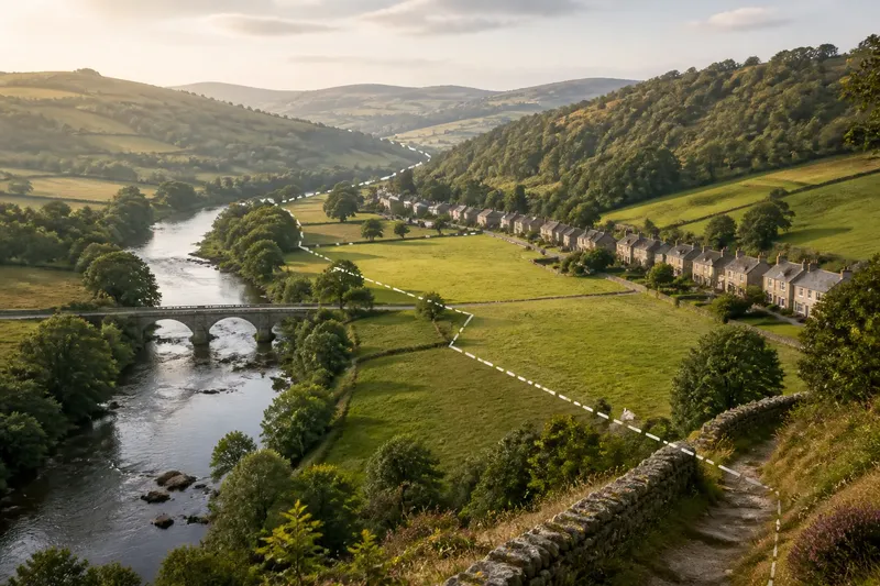
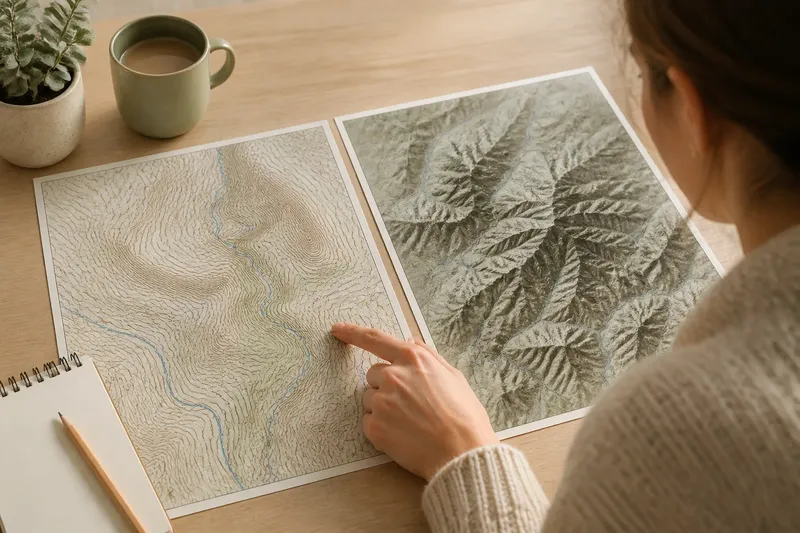
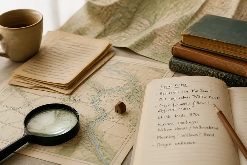
A Kitchen-Table Map Session for Two Neighboring Counties
A kitchen-table map session helps compare neighboring counties through one shared river or road, while keeping each county’s distinct local identity in view.
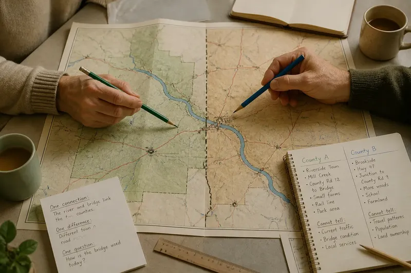
A kitchen-table map session can show how neighboring counties connect without making them seem interchangeable. Choose one river or road that crosses both, trace its route on a county map, and notice what changes on either side: place names, crossings, settlement patterns, or the route’s role in daily life.
The aim is not to settle where one county “really” begins or to find a single symbol for each. It is to use a shared feature as a thread through two different local stories. A paper map, a pencil, and an open conversation are enough; a road atlas or a public map from a county or state source can provide useful detail.
Choose the right route
Start by deciding what kind of connection will make the comparison meaningful. A river and a road invite different questions, so pick the one that fits what you already know or want to understand.
- Choose a river if you want to follow a natural feature that may connect communities through bridges, valleys, crossings, or shared watersheds. The river can run through both counties while each side develops its own relationship to it.
- Choose a road if you are curious about travel, trade, commuting, or the way towns link across a county line. Roads may pass through changing landscapes and connect places with distinct names and civic identities.
- Choose neither yet if the map does not make a clear route visible. Look for a feature that genuinely crosses both counties, rather than choosing one just because it appears prominent.
Use the map’s legend to distinguish roads, rivers, county lines, and towns. If two maps use different scales or labels, compare like with like before drawing conclusions. A route that looks direct on a regional map may bend through several communities when seen in greater detail.
Set the comparison
Agree on a modest stretch: enough to include a crossing or a pair of connected communities, but not so much that the discussion turns into a survey of both entire counties. Mark the county boundary lightly, then trace the chosen river or road across it. Keep the marks separate; the river or road is the shared thread, while the boundary remains a different feature.
Make two columns on scrap paper, one for each county. In each, jot down observable details from the map: nearby towns, tributary streams, road junctions, bridges, rail lines, or labels that indicate land use. Then note what you cannot tell from the map. That distinction helps keep an inference from turning into a claimed fact.
Think of the route like a thread passing through two different fabrics: it connects them, but does not make their textures the same. The analogy is useful only if you keep looking for the actual local details that give each side its character.
Match the session to you
The best approach depends on what each person brings to the table. One reader may know the place names; another may be comfortable reading map symbols. Give both kinds of knowledge room without treating either as a final authority.
What if one person knows the area better?
Let the local person identify familiar names or routes, then ask the other person to check where those features sit on the map. This pairs memory with visible geography and can reveal where a familiar route crosses into a less familiar county.
What if neither person knows the counties?
Use the map as a prompt, not a quiz. Begin with the county labels and one clearly marked river or road, then record questions such as why a town sits near a crossing or how the route reaches the next settlement.
What if the route is hard to follow?
Switch to a map with a clearer scale or use a second map for detail, keeping the same route as your subject. If the feature is interrupted or its name changes, mark that uncertainty rather than drawing a continuous line the map does not support.
What if you disagree about a county difference?
Separate what the map shows from what either person remembers or interprets. You can note the disagreement and identify what kind of local source, such as a road sign or county map, might help clarify it later.
Read the crossings
Crossings often make the comparison concrete. On a river, look for bridges, ferry symbols, or roads that approach the banks; on a road, look for junctions, town centers, or places where a county road meets a larger route. These features suggest where movement may be possible, but a map alone cannot tell you how people use a crossing today.
Notice whether the same route has different labels, surroundings, or apparent roles on either side of the boundary. A named highway may continue under one number, while local roads and town labels change around it. A river may remain physically continuous even as its nearby communities orient themselves toward different county seats or service centers.
Say you and a friend choose a river shown passing through two neighboring counties, with a bridge near a town on each side. You trace the river, mark the bridge, and write down the different nearby place names; the expected result is a simple shared map that shows the crossing alongside distinct local reference points, not a claim that the towns share one identity.
Keep the map honest
County lines, routes, and place labels can be shown differently across maps. If a boundary or road matters to your interpretation, compare the legend and source notes, and consult an appropriate local or official map where needed. The map’s purpose is to support a careful conversation, not to resolve every jurisdictional detail.
Also separate connection from sameness. A river may link communities through a watershed, while a road may make travel between them possible; neither fact means residents share the same history, institutions, or sense of belonging. Local identity can be attached to a town, a landscape, a county, or several of these at once.
Leave with a useful record
Before you put the map away, write down one connection you noticed, one difference that deserves attention, and one question you could check on a later walk or visit. Keep the notes beside the map or mark them in a separate copy, so the original remains legible.
A kitchen-table map session works best when it leaves room for both shared geography and distinct local knowledge. Use the route to see how two counties meet in everyday space, then let their separate names, crossings, and patterns remain visible. That is the value of a kitchen-table map session: a clearer sense of connection without flattening the places it connects.